Topographical surveys
Vertical Survey Services’ engineers collect detailed information about natural and man-made land features and elevations in an efficient and cost-effective way to deliver data for establishling land boundaries, rights of way and fence lines; subdividing areas of land into lots; calculating areas, distances, directions, and cut and fill volumes; setting out new structures, and so on.
Features and Benefits
- Vertical Survey Services’ engineers use cutting edge technology to collect, process and deliver topographical data accurately and quickly
- Our unmatched technical experience and planning know-how virtually eliminate unforeseen issues and expensive errors
- Topographical survey data can be supplemented with information from utility companies
- We use remote survey techniques to establish adjoining property heights and locations where necessary
- We trace underground services to incorporate the location of buried utilities into surveys where appropriate
Deliverables
Our CAD team processes field data from topographical surveys to produce accurate digital terrain models. Final manipulation and annotation are performed using industry standard CAD software. We can then deliver 2D and 3D drawings and reports in hard copy, digital format or both. Project files can be accessed online by all Vertical Survey Services’ clients at any time using our secure web folders.
Find out more
Call Vertical Survey Services on +44 7944 664067 or write to us using our email form for more information.
Case studies…
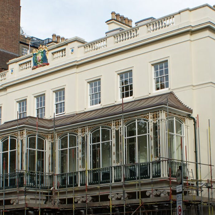
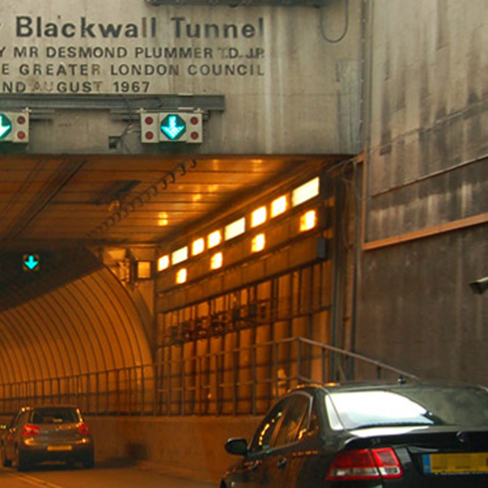
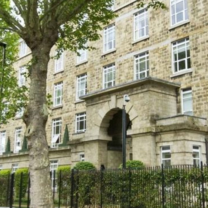
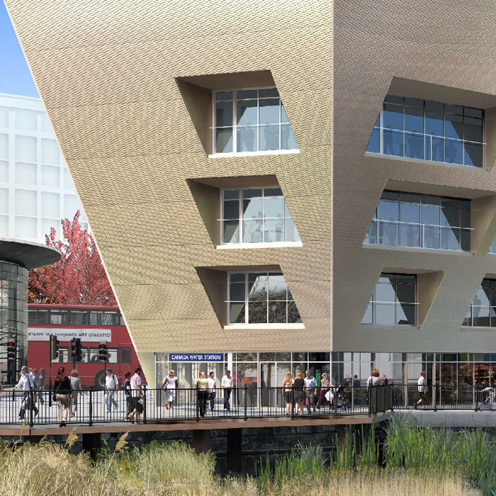
Read how Vertical Survey Services’ engineers have delivered solutions to a range of restoration, refurbishment and new build projects…