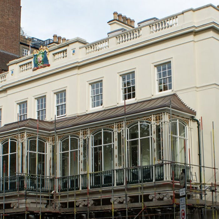
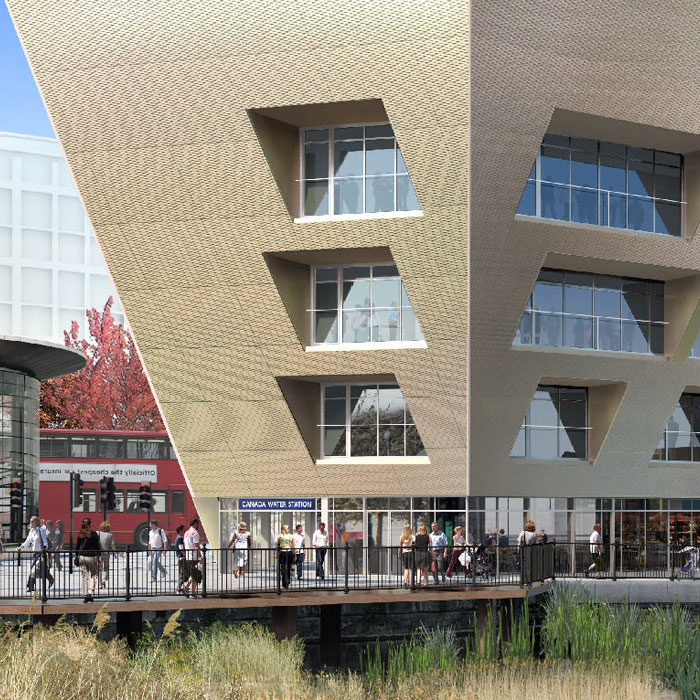
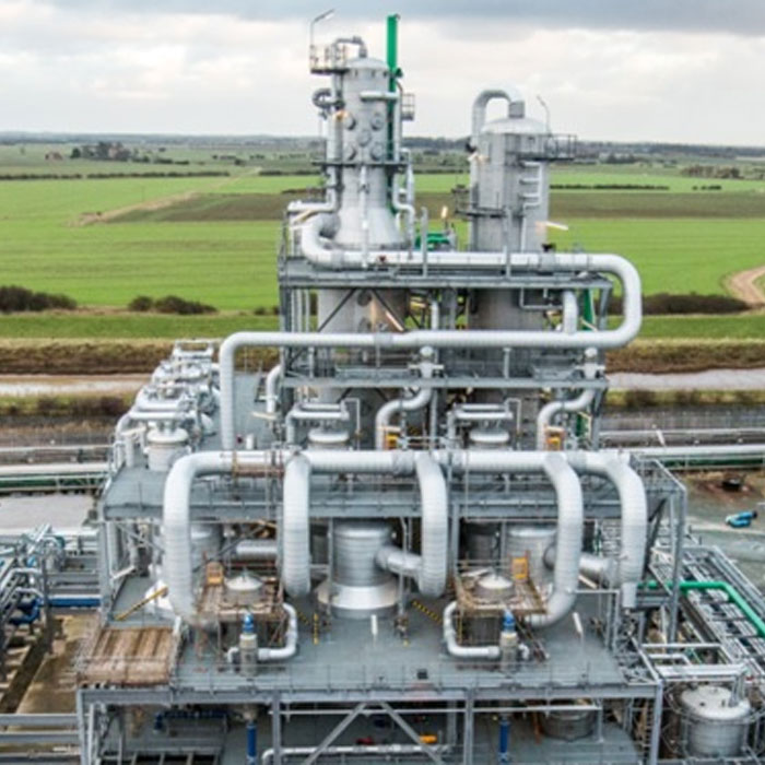
4K Video Drone Surveys
Vertical Survey Services’ 4K video drone surveys enable fast and safe inspection of wide geographic areas and detailed footage of parts of tall structures that are otherwise difficult to reach. We use state-of-the-art professional drones equipped with 4K video cameras to deliver high resolution images with a comprehensive range of alternative visual approaches. That means reduced inspection time and increased cost-effectiveness resulting from lower personnel and operating costs. Safety is assured due to our use of unmanned flight platforms so risks of injury to staff are dramatically reduced. And because frequent inspections are more affordable with our 4K video drone surveys, shutdowns can be prevented through the early detection of defects and anomalies or deviations.
Applications for Vertical Survey Services’ 4K video drone surveys include:
- Periodic checks on tall structures
- Estimation of damage, detailed analysis of network error, etc
- Analysis of vegetation growth along road and rail routes
- Surface and volume determinations
- 3D Modelling
- Measuring environmental damage
- Measuring accident scenes
- Topographic surveys
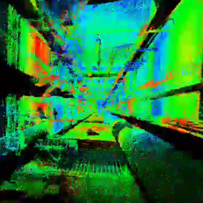
Case study – Arial survey of a new housing estate
To establish the garden fenceline boundaries and patio layout sizes of this newly-built housing estate by conventional means, the developer would have needed to wait at least a week for an engineer to complete the survey using a total station. That would have involved lengthy site visits, additional time in the office and (of course) increased expense.
Fortunately, Vertical Survey Services were able to carry out a drone survey of the site and produce the model shown above in just one day at a fraction of the cost. And all without disturbing any of the residents who had already moved in.
Click on the start button on our 3D panoramic image above, then drag over it to view it from every angle. Our drone flew at a height of 40 metres with a photo overlap of 50% on a double grid to get this full 3D view. The resulting model outputs were made available to our client in various formats, including Cad Mesh, DEM, DTM, Heat Model and Colour Point Cloud.
Deliverables
We deliver 4K video footage, and 2D and 3D drawings and reports in hard copy, digital format or both. Project files can be accessed online by all Vertical Survey Services’ clients at any time using our secure web folders.
Find out more
Call Vertical Survey Services on +44 7944 664067 or write to us using our email form for more information.
Case studies…
Read how Vertical Survey Services’ engineers have delivered solutions to a range of restoration, refurbishment and new build projects…