Primary and Secondary GPS Control
Whatever their size and scope, virtually all construction projects start with the need for precise survey control. Vertical Survey Services’ primary and secondary/GPS control service provides highly experienced surveying teams to deliver survey control at every stage of the project:
- Initial survey
- Establishment of the building footprint
- Provision of gridlines and datums to all construction levels
Vertical Survey Services’ teams:
- Relate architects’ established setting out criteria and the Ordnance Survey national grid to control networks
- Develop best-fit grid references to site conditions
- Make innovative use of modern instruments, GPS and web technology to deliver survey data to clients’ desktops in real time
Everything our engineers do is governed by our best practice quality management systems and compliance with our clients’ own business processes:
- GPS Control – Most Vertical Survey Services clients provide specifications for their preferred data collection method and for placement of GPS control. Where this is not the case, we adopt what we consider to be the most suitable alternative method(s).
Primary Control – We carry out 3-4 hour dual frequency, continuous observations (that can be up to 8-hour depending on site conditions) where no control is available for the purpose of topographical surveys or similar. These observations are processed using the Ordnance Survey Active network of GPS base stations. Results can be provided in OSGB36 if required.
- Secondary Control – We carry out 20-minute observations, either while a primary point is being observed or with a base station located over a known WGS84 point. Depending on the location of the site, processing may be carried out directly off the Ordnance Survey network with 20-30 minute observations and no temporary base.
Deliverables
Deliverables comprise reports that include descriptions, photographs and drawings in hard copy, digital format or both. Digital reports are delivered as Microsoft Word documents and Microsoft Excel spreadsheets unless other formats are specified. Drawings are issued in DWG and PDF format. All project files can be accessed online by Vertical Survey Services’ clients at any time using our secure web folders.
Find out more
Call Vertical Survey Services on +44 7944 664067 or write to us using our email form for more information.
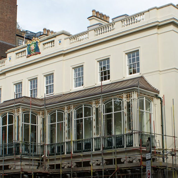
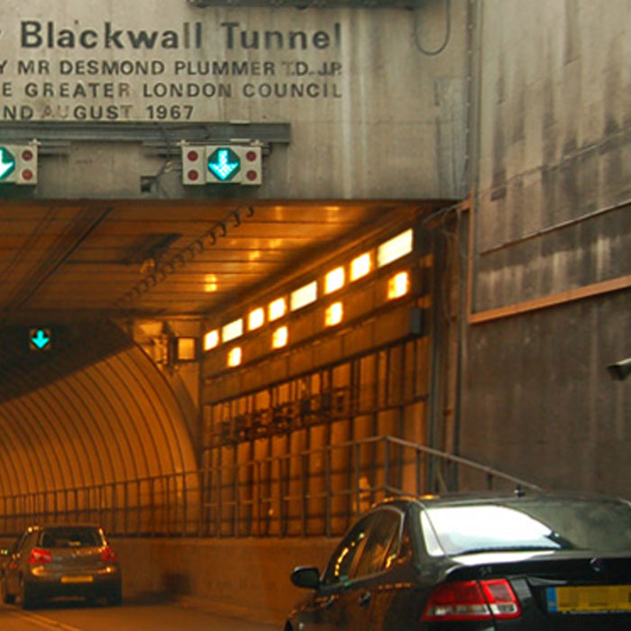
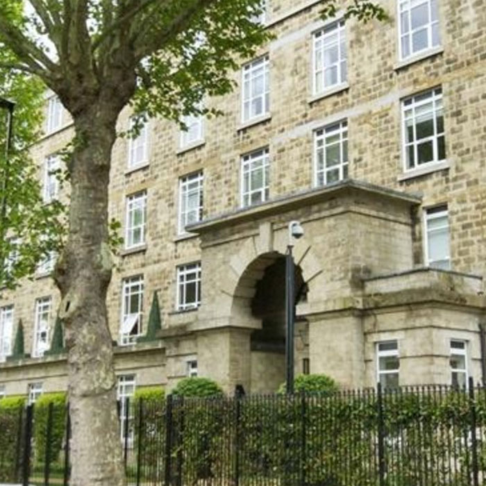
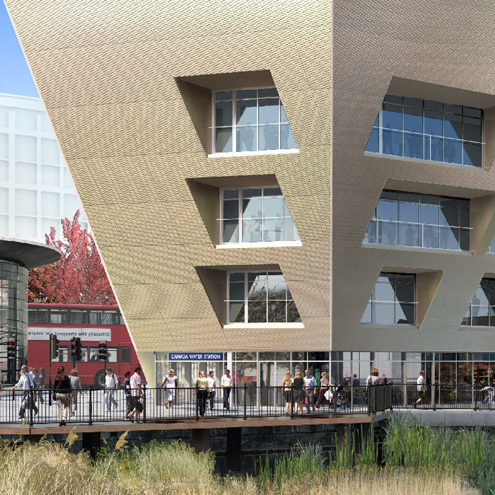
Case studies…
Read how Vertical Survey Services’ engineers have delivered solutions to a range of restoration, refurbishment and new build projects…