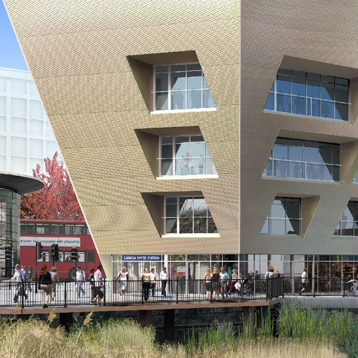
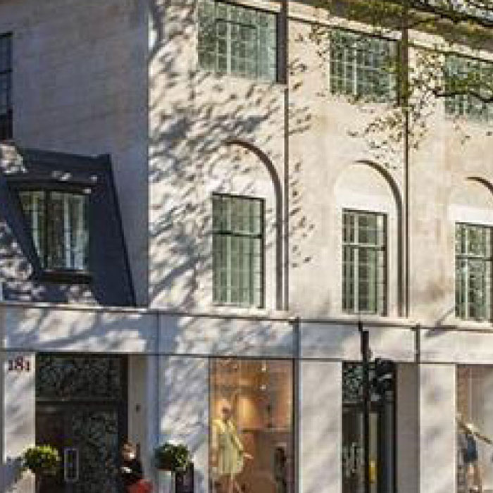
Site Setting Out
Vertical Survey Services’ setting out services offer contractors a fast, virtually foolproof method for marking out the precise location of new features and structures such as:
- Foundations
- Pile positions, pile caps, contig walls
- Building locations
- Roads, highways, haul roads
- Levels, datums & height transfer
- Drainage systems
- Steel positions, bolt holes
- Concrete shutter lines, slab extents
- Glazing positions, shoes, mullion and transom lines
Features and Benefits
Using a mix of robotic survey equipment and GPS technology, along with industry standard software and our own bespoke applications, Vertical Survey Services’ engineers transfer data directly from the design drawing to site – without further intervention. Our setting out processes thus eliminate many of those steps in which errors typically occur:
- Computation of pile and other co-ordinates on site is no longer necessary
- Paper drawings are not needed
- Data entry into instruments or calculators on site is unnecessary
- The use of robotic instruments eliminates manual distance and bearing readings
Once initial data is entered into a logger, Vertical Survey Services makes the process of setting points on site considerably faster than traditional methods. This enables us to deliver the most accurate setting out system available at an extremely competitive price, with savings of up to 50% attainable on some projects.
Vertical Survey Services’ software accurately and automatically selects the centres of piles and other objects. This makes the process of picking each point manually with a cursor redundant, eliminating another time-consuming convention that tends to produce errors. The resulting data is exported to a file and processed to the setting out stations before transmission in the preferred format.
Deliverables
Vertical Survey Services maximizes flexibility by offering two different levels of service:
- Complete Package – Vertical Survey Services processes all drawings, extracts relevant data and sets the points out on site.
- Data Processing Only – We extract and process all data from the design drawings in either 2D or 3D format to provide a print-out or electronic information for third party engineers. All the engineer has to do then is set up and orientate an instrument to measure the pre-calculated bearing and distances to set out the points. This eliminates the keyboard errors and other mistakes inherent in on-site calculations.
Find out more
Call Vertical Survey Services on +44 7944 664067 or write to us using our email form for more information.
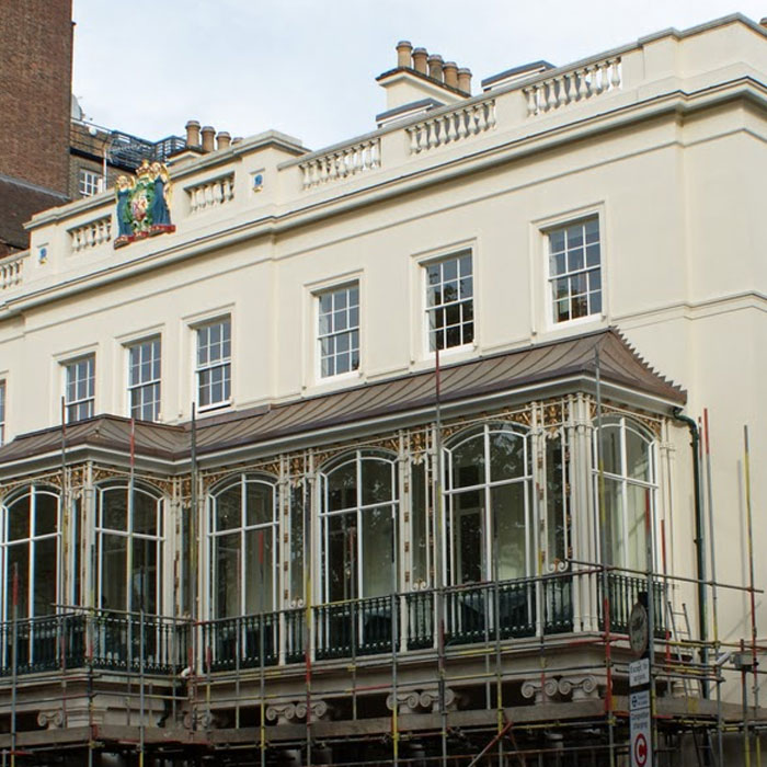
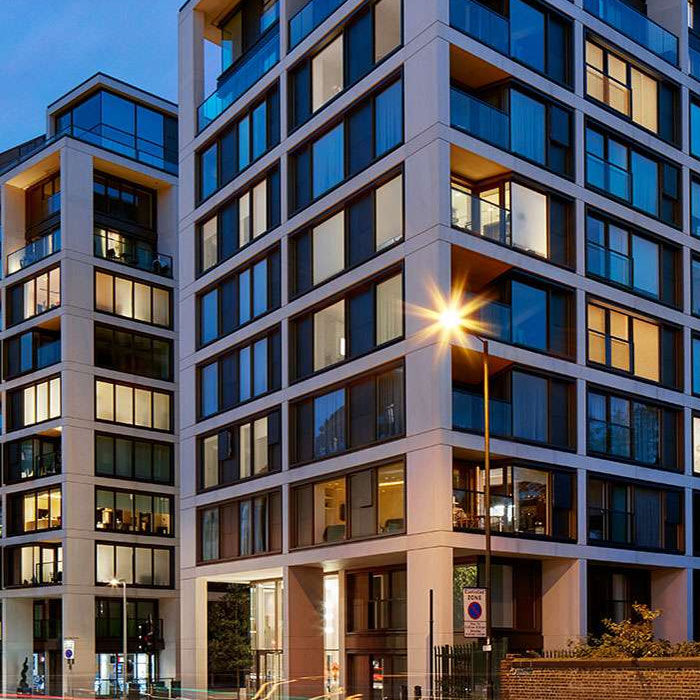
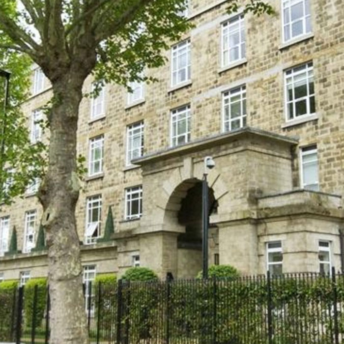
Case studies…
Read how Vertical Survey Services’ engineers have delivered solutions to a range of restoration, refurbishment and new build projects…