3D High Definition Laser Scanning
Vertical Survey Services’ pioneering use of 3D high definition laser scanners has for several years enabled us to deliver 2D drawings from scan material in under a week – even for very complex sites. Our long-term use of laser scanner technology has proven time and time again, over a wide range of different projects and applications, to reduce on-site and drawing times by as much as 75%.
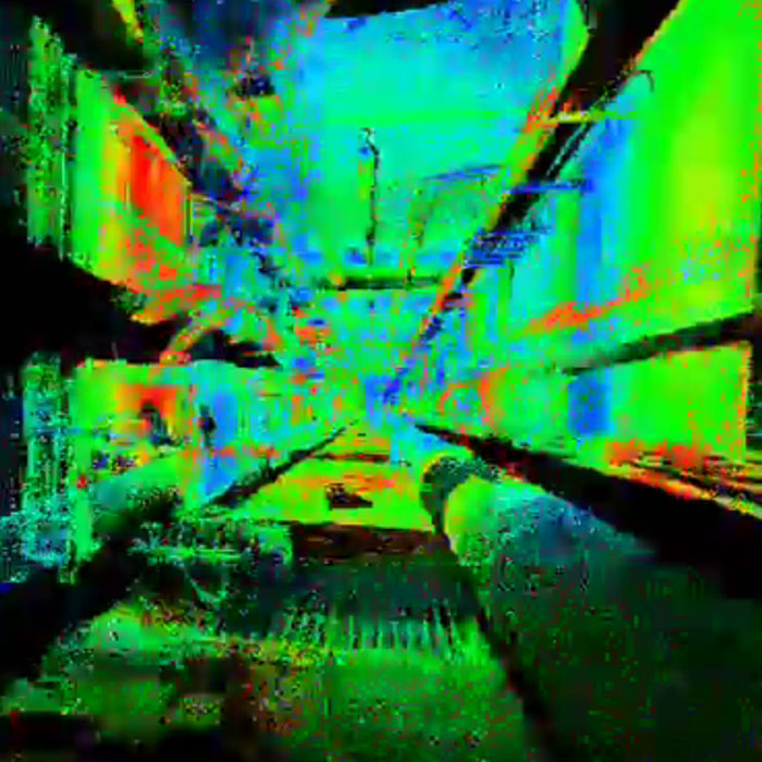
We employ leading edge point cloud publishing software to deliver the full value of dense point cloud data to our clients. Once all the scan data has been published to our web server, Vertical Survey Services clients can use the free-of-charge Truview module to view/measure those point clouds online, visualising and familiarising themselves with the surveyed site from the comfort of their own office desk. That mean significant savings in travel time, financial costs and site disruptions.
Vertical Survey Services publishes as-built or topographic point clouds and images in a user-friendly, panoramic viewing format. And there is no need to be a laser scanning, CAD or 3D expert to use Truview. It is easy-to-use, and highly effective, allowing our clients to view, zoom or pan over point clouds naturally and intuitively, and measure and mark up scanned sites from anywhere in the world at a time that is convenient to them. Scanned data can also be saved to local PC or network hard disks and/or optical drives if required.
Deliverables
Deliverables from surveys utilising 3D high definition laser scanning technology can include 2D drawings, 3D point clouds and models, and digital photography. Reports are delivered as Microsoft Word documents and Microsoft Excel spreadsheets unless other formats are specified. Drawings are issued in DWG, DGN, DXF and PDF format. All project files can be accessed online by Vertical Survey Services’ clients at any time using our secure web folders.
Find out more
Call Vertical Survey Services on +44 7944 664067 or write to us using our email form for more information.
Case studies…
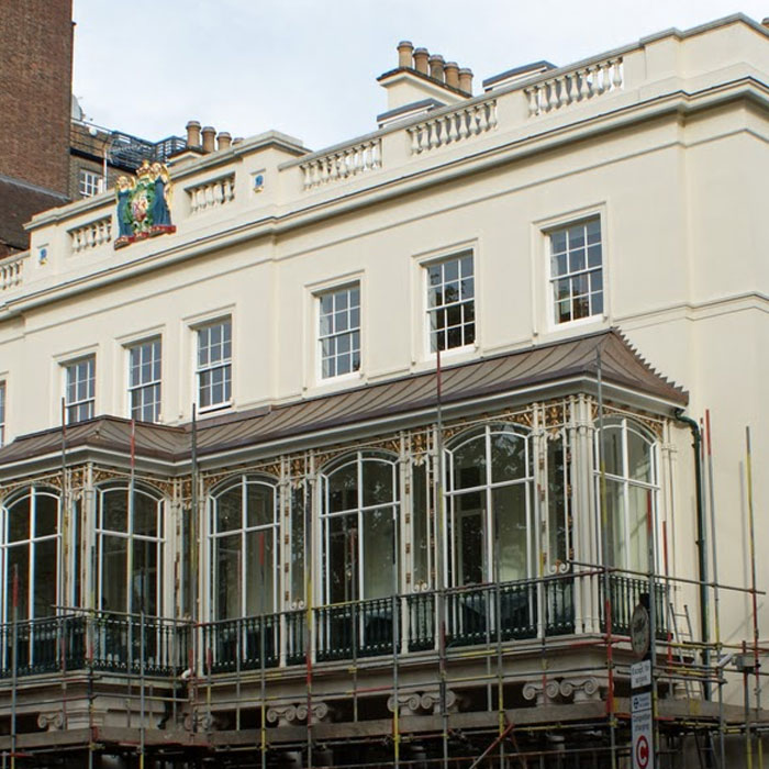
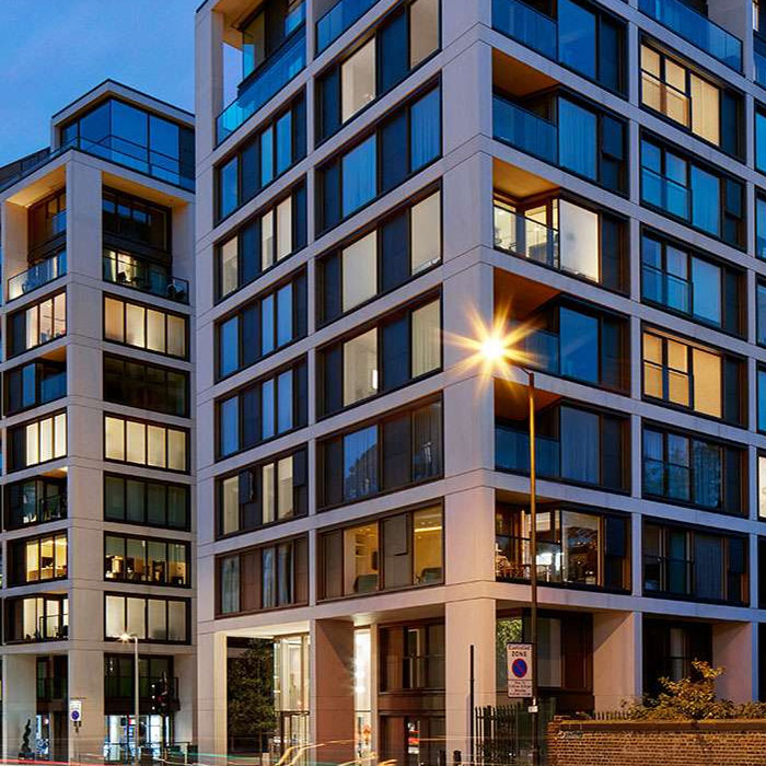
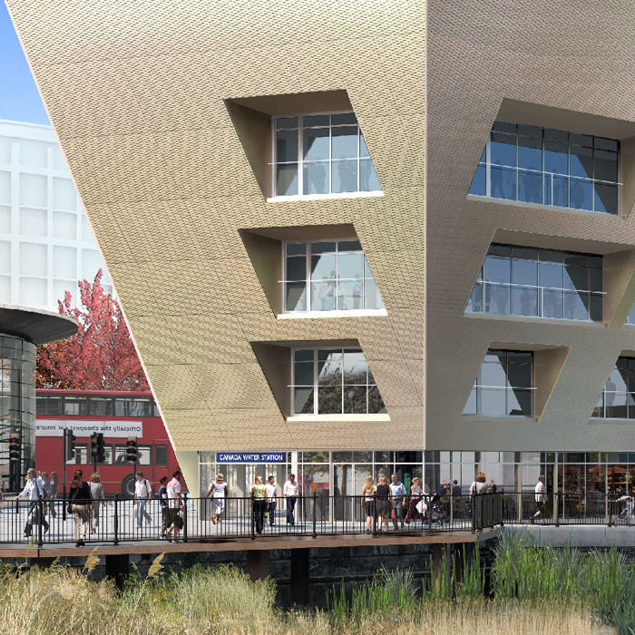
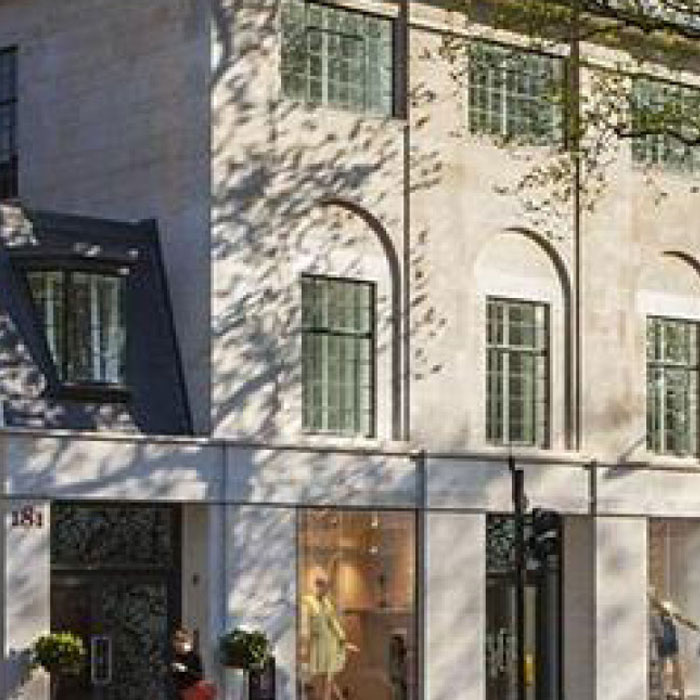
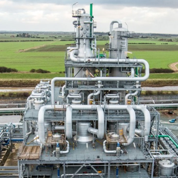
Read how Vertical Survey Services’ engineers have delivered solutions to a range of restoration, refurbishment and new build projects…