Monitoring
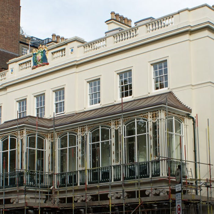
Many construction projects demand some form of monitoring to ensure site health & safety or to avoid expensive project delays and disputes. Vertical Survey Services’ highly experienced team uses leading edge technology to monitor and record structural cracks, or movements in retaining walls and retained façades, or site obstruction movements – without interfering in day-to-day construction operations.
We offer two options for monitoring assignments:
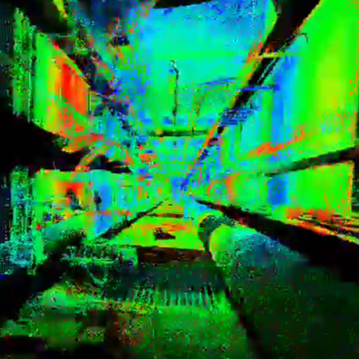
- 3D Laser Scanning Monitoring – Laser scanning uses very dense point clouds that very quickly create a detailed 3-dimensional view of the structure being monitored. Laser scans of a structure at different time intervals (normally before and after any external influence is applied) creates a unique comparison. By simply overlaying (or subtracting) one point cloud from another, our engineers can immediately highlight any changes in the structure. While this option does not offer real-time analysis, it does provide very detailed insights into overall movement of a structure over time, and as such is an extremely useful tool for comparing predicted movement with actual movement.
- Geospatial Surveying – 3D monitoring using manual or robotic total stations and reflective targets enables our engineers to determine very quickly whether structures have undergone any deformation as a result of external influences. Attaching strategically placed reflective targets or prisms to the monitored structure provides a very cost effective way to monitor (with an accuracy of ± one millimetre) buildings, walls, retained façades, capping beams, and any other structure undergoing stress.
Measurements can be taken manually or automatically, depending on the frequency, accessibility and level of accuracy required. Results from this method provide data on 3-dimensional structural deformation, allowing post survey analysis to quantify degrees of deformation using techniques such as Boscardin and Cording analysis and time/value trend patterns.
Deliverables
Deliverables comprise easily understood reports that include flow charts, descriptions, photographs and drawings in hard copy, digital format or both. Digital reports are delivered as Microsoft Word documents and Microsoft Excel spreadsheets unless other formats are specified. Drawings are issued in DWG and PDF format. All project files can be accessed online by Vertical Survey Services’ clients at any time using our secure web folders.
Find out more
Call Vertical Survey Services on +44 7944 664067 or write to us using our email form for more information.
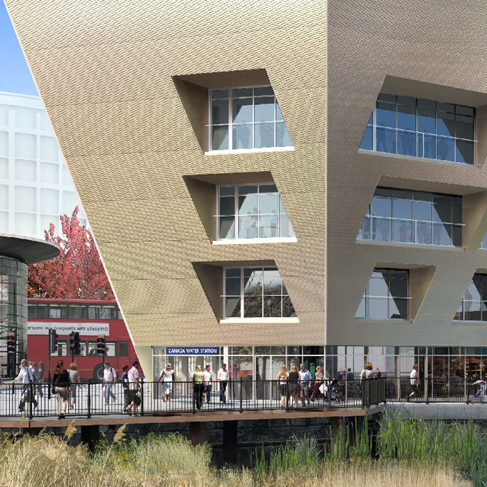
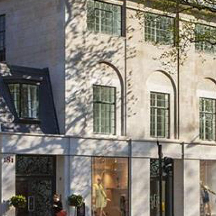
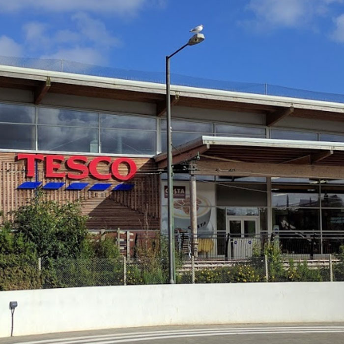
Case studies…
Read how Vertical Survey Services’ engineers have delivered solutions to a range of restoration, refurbishment and new build projects…